High-end Geospatial Consultancy Services: Customized geospatial solutions that help clients enhance decision-making and solve complex problems.

Systems Design Services (Design & Review): Our experts design and review GIS systems to ensure seamless integration and efficient functioning.
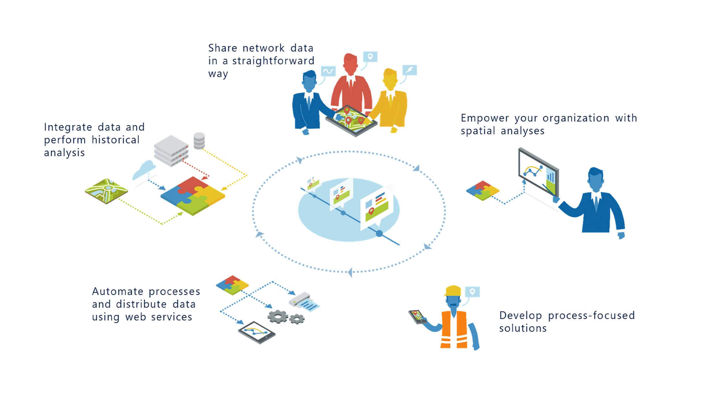

GIS Application Development: We create bespoke GIS applications that cater to specific requirements and industry needs.
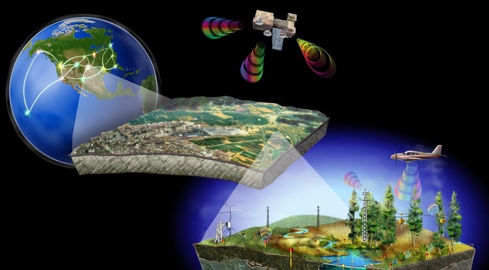
Remote Sensing and Automated Data Capture: We specialize in collecting and processing data using cutting-edge remote sensing technology and automated data capture methods.
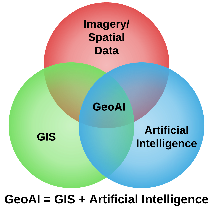
GeoAI and GeoML: Leverage artificial intelligence and machine learning for predictive insights and advanced analysis in the geospatial domain.
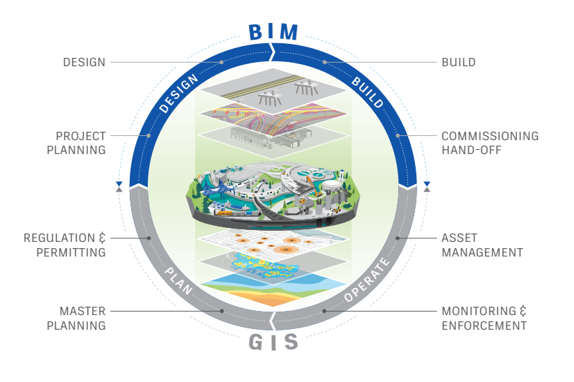
BIM/GIS Integration Services: Integration of Building Information Modeling (BIM) with GIS for 3D spatial visualization and analysis for AEC projects.

GIS Roadmaps and Strategies: Develop long-term GIS strategies and roadmaps to maximize the benefits of geospatial technologies.

GIS Advanced Analytics: Our experts perform advanced spatial analysis, data mining, and visualization techniques to extract valuable insights from geospatial data.
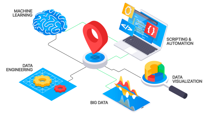
Data Automation: Enhance efficiency and reduce manual intervention with our geospatial data automation services.
Experience the Awaser El Taqnia difference today. For inquiries or more information about our services, please contact us at Sales@awasereltaqnia.com We look forward to partnering with you to achieve your goals.
Awaser Eltaqnia
Your partner in geospatial solutions
Call Us :
Hafsa Al Rekonia Street,
Al Andalous District, Tripoli, Libya
Cell#: (+218) 0913739974 – 0917802701 – 0912184166
